Destination briefing
Why travelers stop here
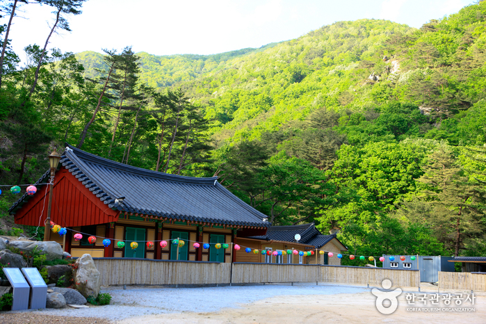
Gibaeksan (1331m) forms the boundary between Hamyang and Geochang-gun, and is also called Jiusan. Around Gibaeksan, the Jiuchen flows to form valleys, and there are many large and small rock formations and pools, so the water volume is abundant. Along the main hiking trails to Gibaeksan, there are Yongchusa Temple, Yongchu Valley, and Yongchu Waterfall. The area around Simwonjeong features harmonious rocks and old pine trees. Gibaeksan has many large and small valleys and beautiful natural landscapes in between. From Simwonjeong to Yongchu Waterfall, the mountain is majestic with surrounding奇特 rocks and strange stones, and the reed fields on the ridge stretching about 3km from the summit to Geumwonsan are spectacular. The representative hiking trail to Gibaeksan starts from the Iljumun Gate of Yongchusa Temple in Anui, following the northern ridge to the summit of Gibaeksan. For the descent, it is desirable to go to Geumwonsan and then descend from Geumwonsan through Sumangnyeong to Yongchu Valley. However, the distance to Geumwonsan exceeds 3km, and the course passing Geumwonsan and descending to Yunancheong Valley is quite a detour. If time is short, you can choose one of several descent trails on the left and right of the ridge. It was designated as Hamyang County Park in 1983, and a natural recreation forest, the first of its kind in Korea, has been created in the upper part of Yongchu Valley, attracting many visitors.
OTA-ready stop
Built into inbound routes and day-tour planning.
Local context
경상남도 함양군 안의면, 경상남도 거창군
Travel fit
Attraction · Gyeongsangnam-do